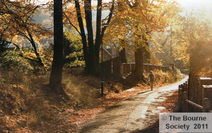
Waller Lane, Caterham
Leaflets of Walks in the Local Area
The Bourne Society has over the years developed a series of walks to illustrate aspects of local history in the landscape within the Bourne Society area. Each of the walks is described on a set of A4 pages in either two or four sheets per walk. Some of the original printed leaflets are still available from the Society.
Click or tap on the small image of each of the sheets in turn to get a full sized page in a new window, which you may read and/or print on your own computer.
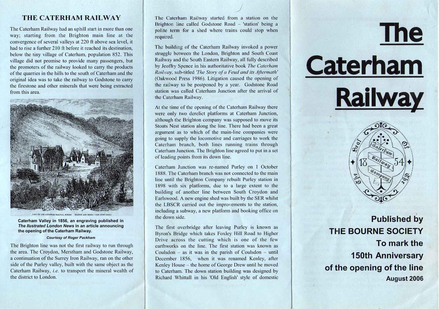
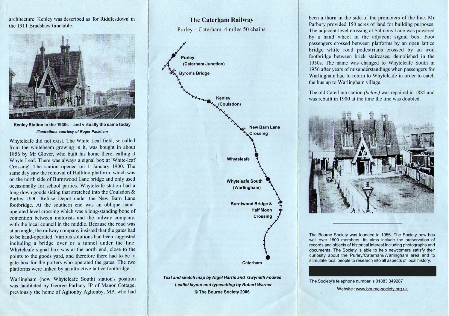
Caterham railway information sheet
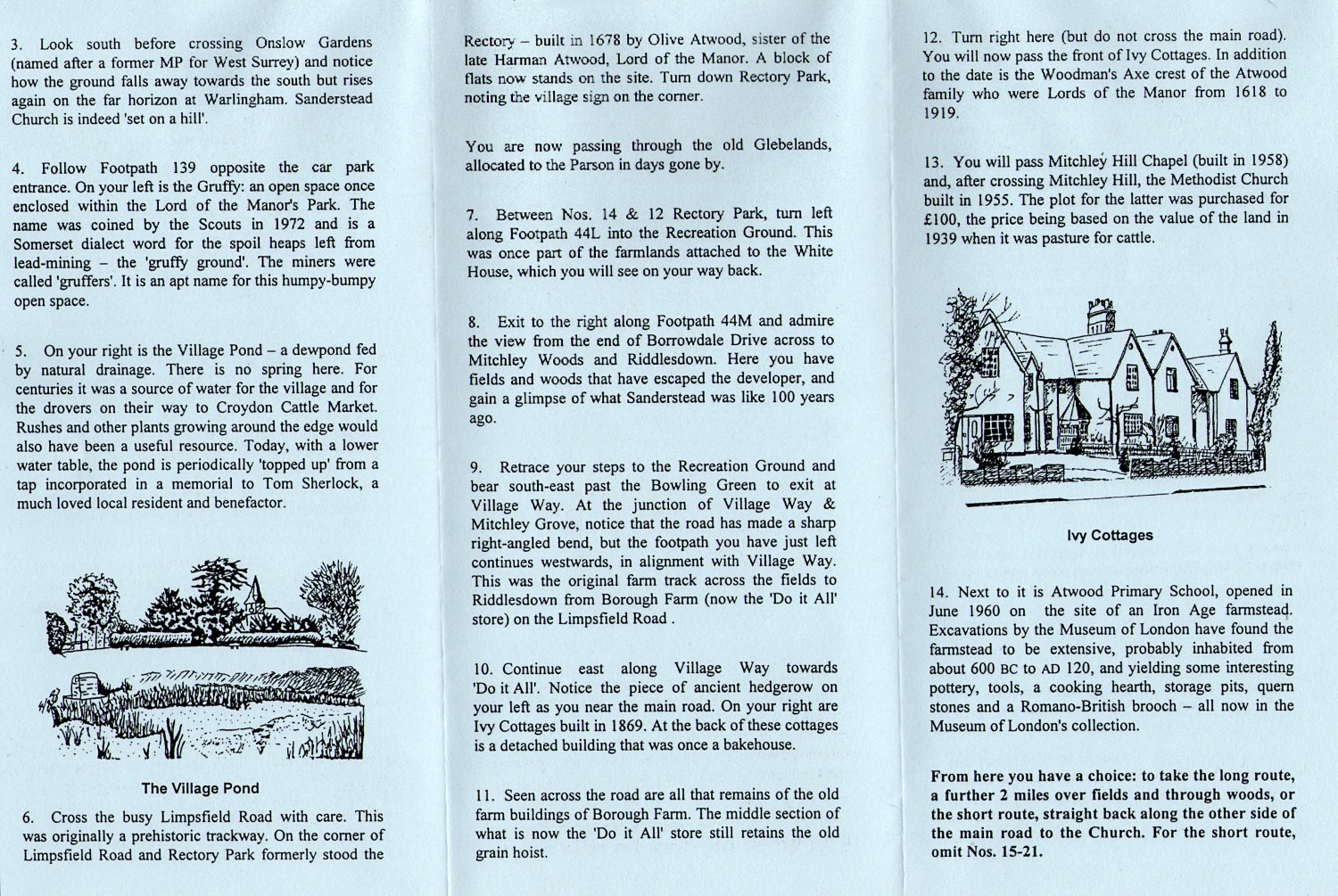
 |
 |
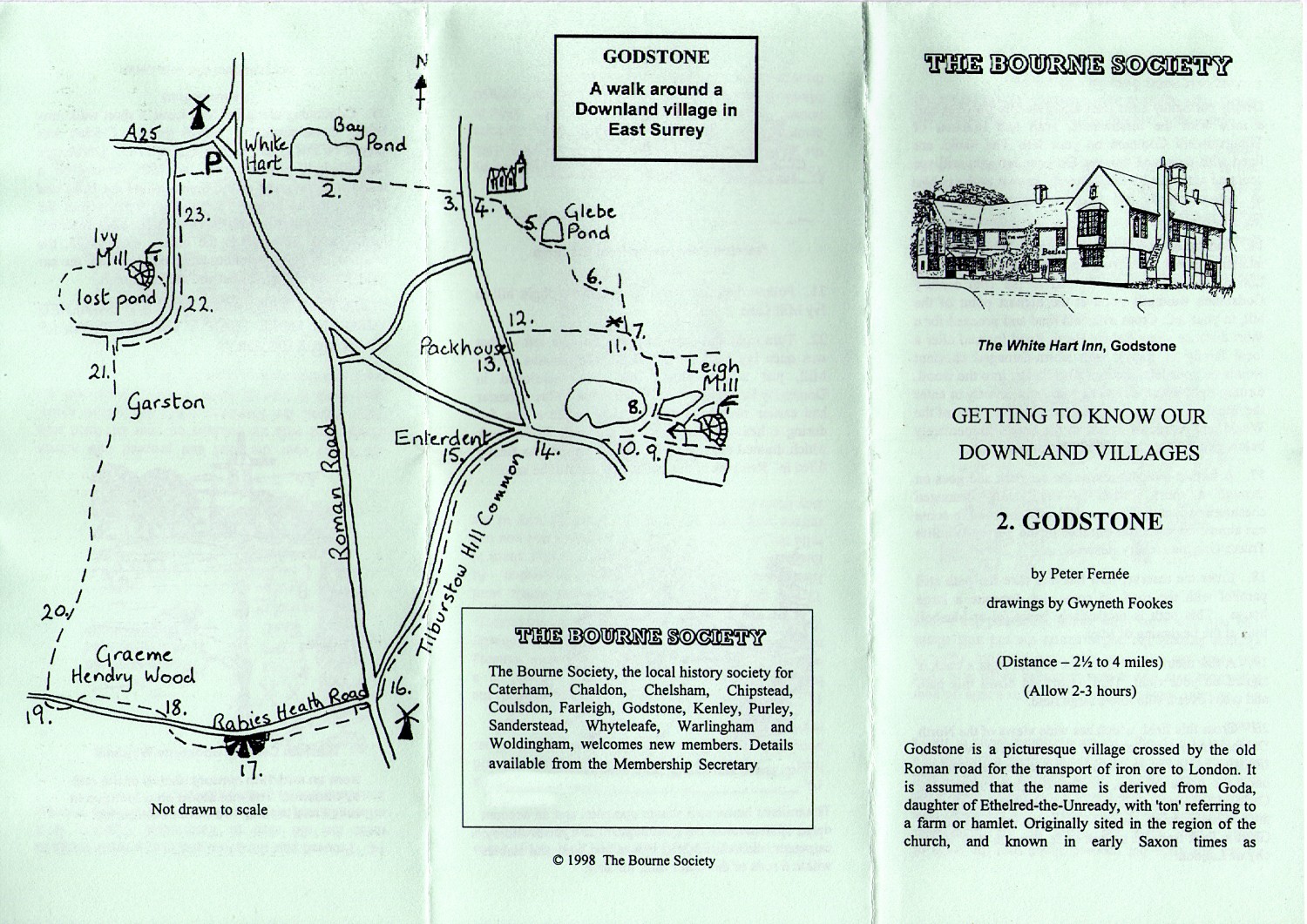
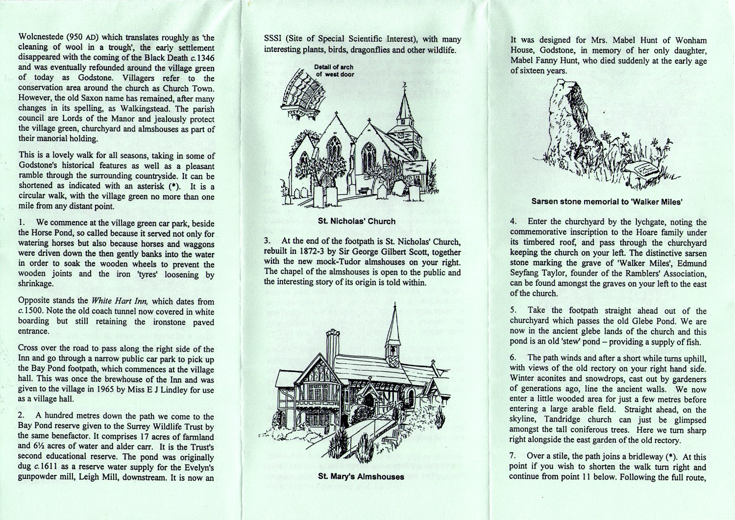
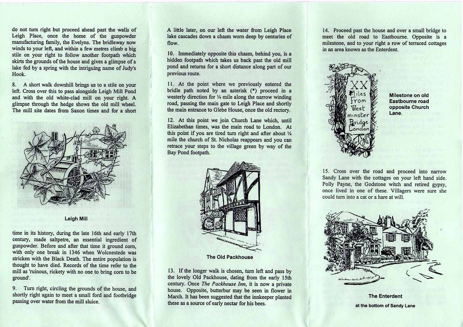
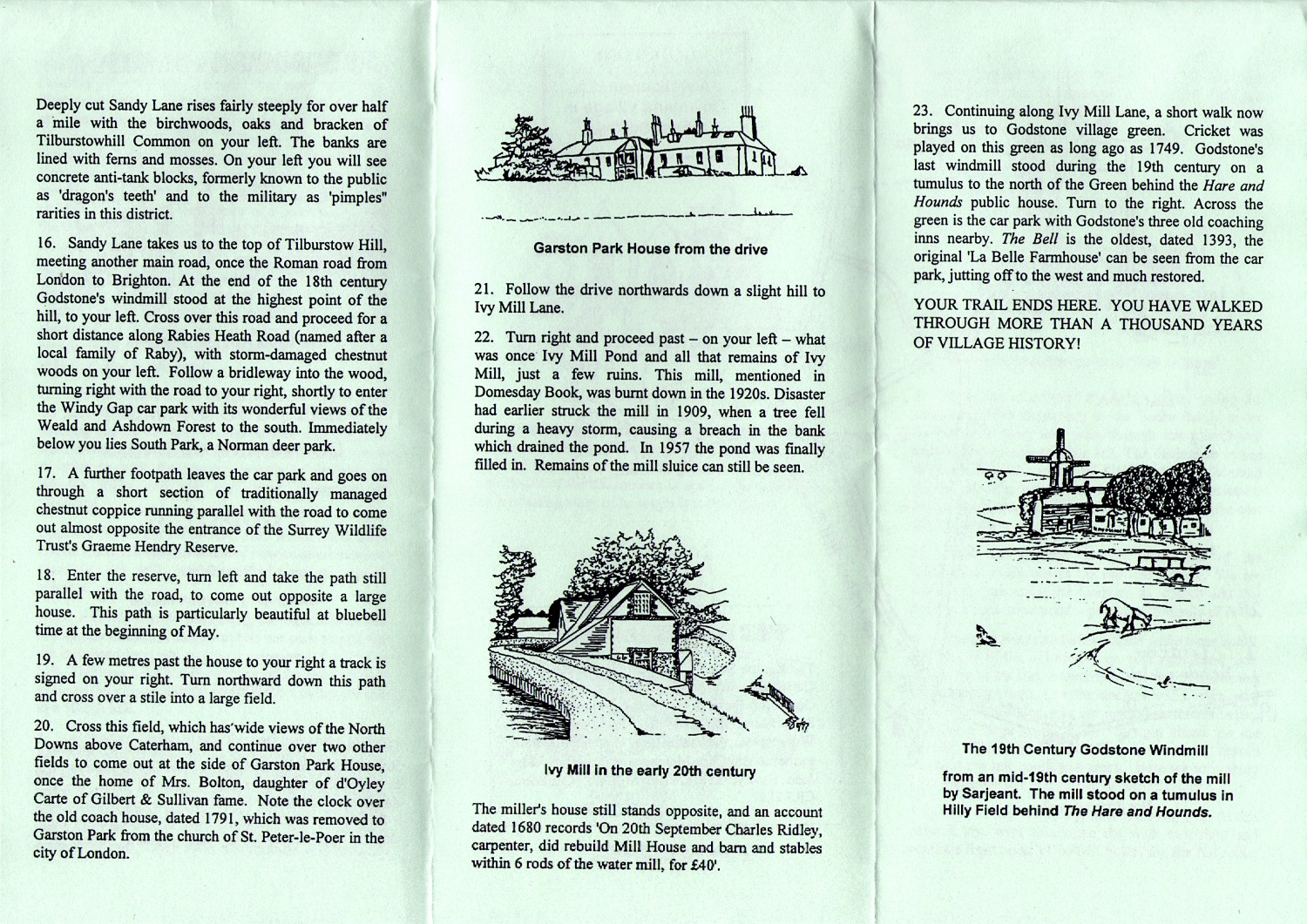
Godstone walk
 |
 |
 |
 |
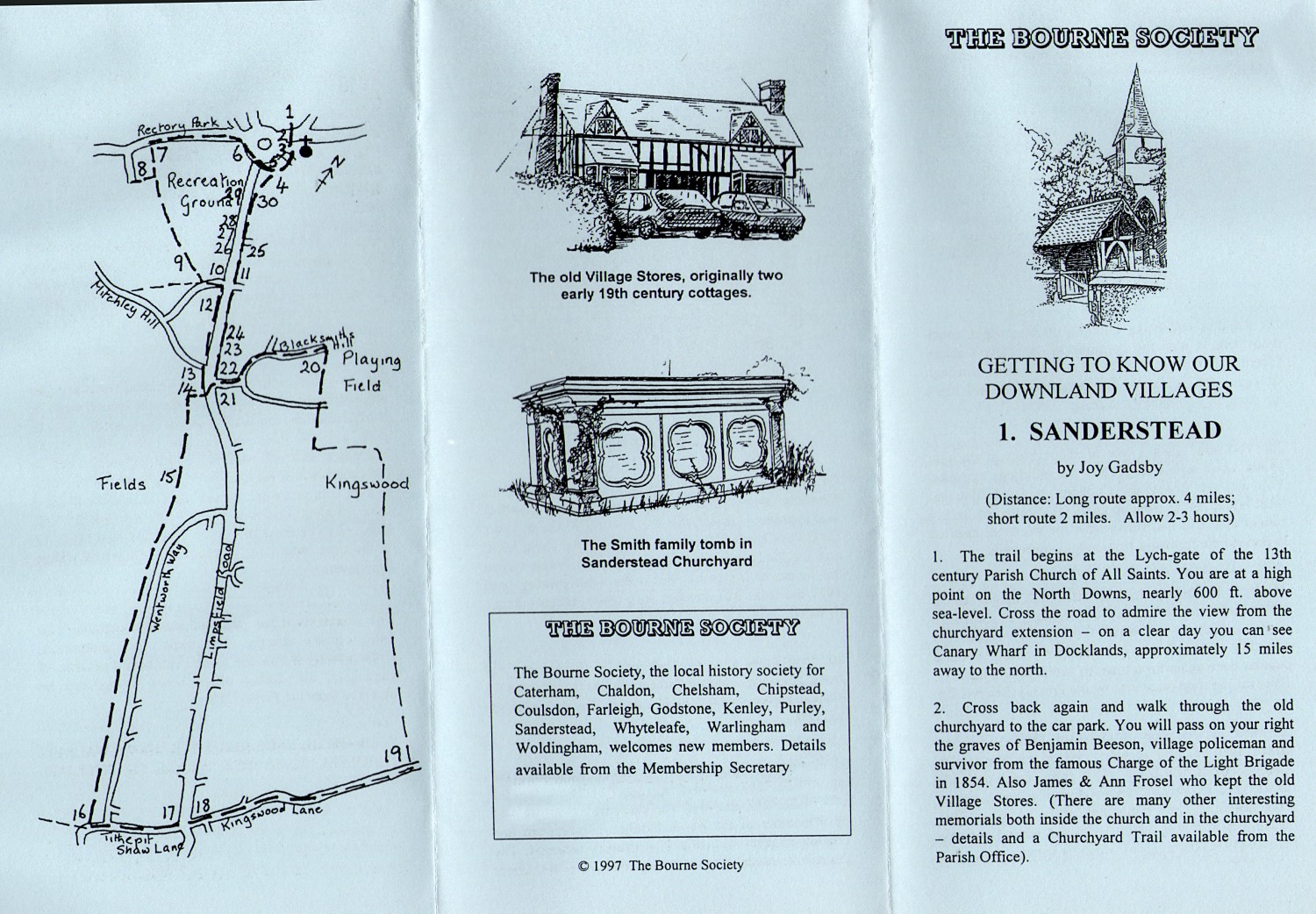
Sanderstead walk
 |
 |
 |
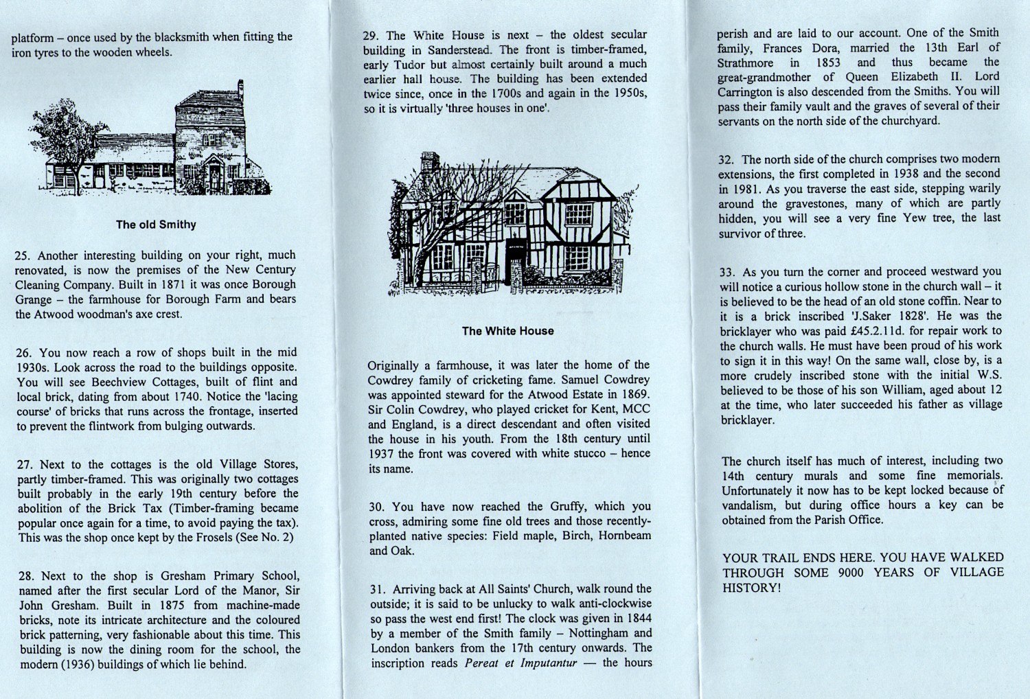 |
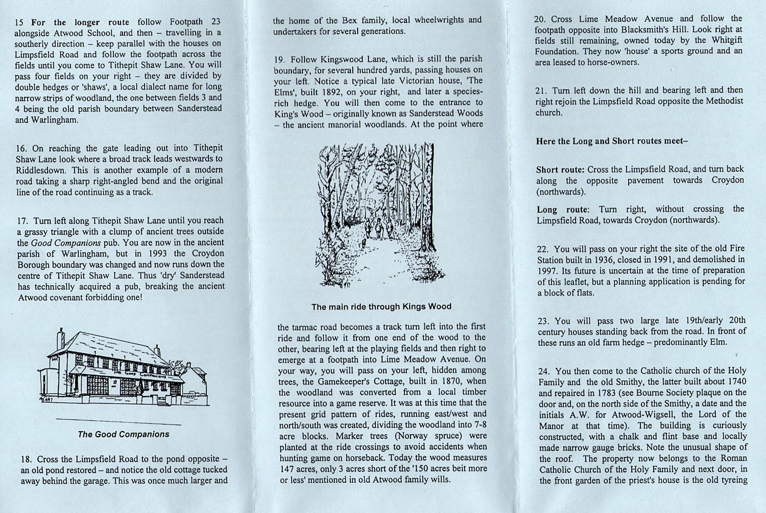
Leaflets of Local History Trails in the Area
More recently, the Bourne Society has developed some more detailed leaflets describing local history trails in the area, illustrated with numerous coloured pictures of sites of interest along the route. Each of the trails below is described on a double sided A4 sheet, which is contained within a single PDF file.
Please click or tap on the links below to get a full sized display of both sides of the leaflet, which you may read and/or print on your own computer using Adobe Reader or similar software.
Understanding Place, Field & Road Names in the Landscape
This final article may be helpful to those embarking on any of the walks above, or to those who have a more general interest in local history. It gives an introduction to understanding how to interpret some of the names to be found on the walks pages or maps covering the Bourne Society area.